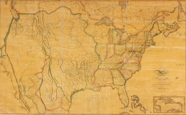
“The Power of Maps and the Politics of Borders”- October 10-12, 2019
The American Philosophical Society Library invites scholars in all fields to submit paper proposals for an international and interdisciplinary conference investigating the power of maps and the politics of drawing borders. This three-day conference will be held in conjunction with the APS Museum’s exhibit, Mapping a Nation: Shaping the Early American Republic, which traces the creation and use of maps from the mid-eighteenth century through the early republic to show the different ways in which maps produced and extended the physical, political, and ideological boundaries of the new nation while creating and reinforcing structural inequalities.
The program committee is now accepting proposals for the conference. While the exhibit and conference are focused in particular on the early American republic, the committee will consider proposals whose work places such themes in broader geographic and chronological contexts. Potential topics include (but are not limited to):
- The forms of power expressed by maps and through the process of mapmaking in the Atlantic World
- The politics of borders as symbols of conflict, contestation, negotiation, and peace during the American Revolution
- The role of maps in state-building efforts and in constructing a sense of nationhood during the early national period, while also serving as a means of disempowerment and exclusion
- The varied uses of maps as diplomatic tools, as legal documents, as works of art, as assertions of sovereignty, and in other ways during the Age of Atlantic Revolutions
- The different forms of cartographic knowledge that existed in colonial and revolutionary North America
- The labor, skills, technologies, and publications used in the creation and dissemination of maps in the eighteenth and nineteenth centuries
- The various ways maps were read in the early republic and are interpreted today by scholars and others
- The role of maps and other cartographic tools in enabling or hindering scientific expeditions, and the ways in which new scientific thinking shaped maps and mapmaking in the Enlightenment
Applicants should submit a title and a 250-word proposal along with a C.V. by March 15, 2019 via Interfolio: https://apply.interfolio.com/59727. Decisions will be announced in May, 2019. All presenters will receive travel subsidies and hotel accommodations. Accepted papers will be due a month before the conference and pre-circulated to registered attendees. Papers should be no longer than 15-double spaced pages. Presenters may also have the opportunity to publish revised papers in the APS’s Proceedings, one of the longest running scholarly journals in America.
For more information, visit https://www.amphilsoc.org/, or contact Adrianna Link, Head of Scholarly Programs, at [email protected].


