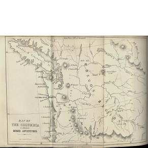
The 1803 Louisiana Purchase added 827,000 square miles of land west of the Mississippi River to the United States. Wanting to better understand the resources and peoples of this new territory, hoping for an easy passage to the Pacific Ocean, and fearing Spanish and French competition for land, the United States sent exploratory expeditions to the West. Most notably, the Lewis and Clark Expedition (1804–1806) traveled to the Pacific gathering information about natural resources and Native Americans. Others explored the Mississippi and Southwest. In addition to relying on Native Americans for knowledge of geography, these men made diplomatic gestures to the Native nations they encountered.
The Early Republic (c. 1780–1816) was a chaotic period for the new nation. Territorial expansion and a rapidly increasing population spurred the young nation to look westward. Foreign competition inspired exploratory expeditions and new settlements, leading to the growth of trade and demands for more and better infrastructure. Maps defined new postal and travel routes, making it possible for the U.S. government to determine who would receive government services. Thus, maps illustrated who belonged to the nation.
Throughout this period, Native American nations remained sovereign, or self-governing, with their own institutions, citizens/members, social, economic, and religious practices. Nevertheless, U.S. mapmakers erased Native peoples from their lands to allow U.S. citizens to envision a connected transcontinental nation.
Visions of the West
Building a National Infrastructure
Government officials quickly saw the need for a postal system and roads to aid communication and trade between the states. Citizens demanded post offices and built roads to new towns, which strengthened U.S. claims to western territories. The creation of new postal routes was a highly political process shaped by ideas about who belonged to the new nation and deserved essential government services. During the same period, a lack of reliable information about the coastline drew attention to the need for coastal surveys to improve navigation for trade and defense.
A Nation in Motion
The Early Republic faced a number of international and domestic crises. Maps helped to make sense of the rapidly shifting borders and spaces of conflict. The Haitian Revolution, an uprising of enslaved people in the Caribbean colony of Saint-Domingue, led to the United States’ first refugee crisis and intensified debates about the future of slavery in the United States. Northern states had begun to abolish slavery while Southern slaveholders advocated for slavery’s expansion to the West. Meanwhile, western migration heightened hostilities with Native American nations. By 1816, mapmakers envisioned the United States extending to the Pacific, despite these unresolved conflicts.


